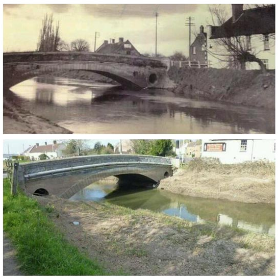
Then and now pictures of bridge at Burrow Mump show how easy it is to create a flood by not dredging.
Photos originally from Richard Norths eureferendum.com
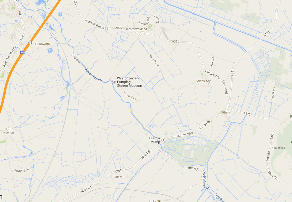
If you don’t know where Burrow Mump is here’s a map courtesy of Google
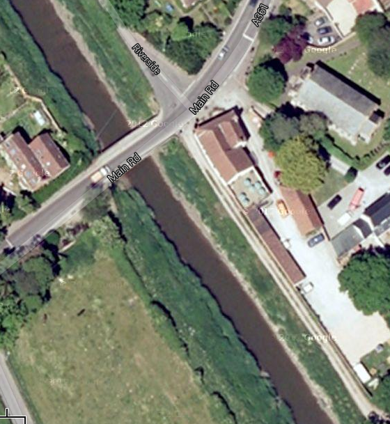
And a satellite view
Finally a link to google maps so you can wander around and look at floods. I like the one which shows water at top of arch of the bridge!
Remember this is what happens when EA is looking after flood defence.
I’d hate to think what would happen if they stopped!


